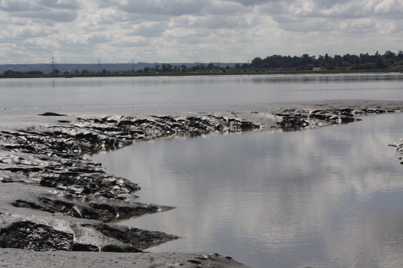
Intertidal zones in the Forth estuary
In August 2014 we started doing fieldwork on the Firth of Forth in order to compare an area where the natural exchange of salt and sediment takes place to the Oosterschelde. The estuary of the Forth can be divided into three sections; the mouth, the basin and the tidal river. We focused our research for the first stage on two locations. Firstly we looked at the furthest point inland where the salinity is high enough for marine life. The speed of the river in the wrong dictions and the alien environment of the steep mud banks are very unusual and distinctive.
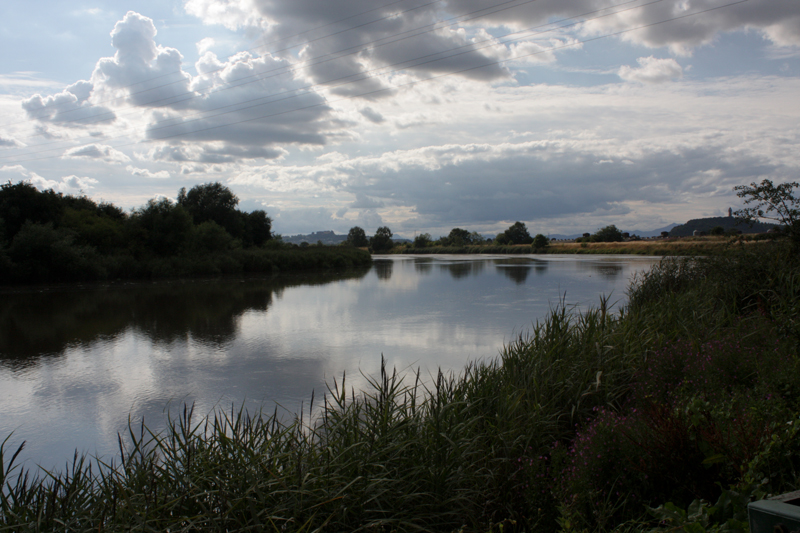
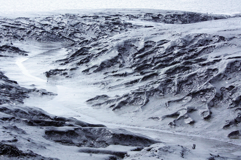
Secondly we moved downstream to where the river Almond feeds into the Forth near Edinburgh. This area is a good example of an extended intertidal zone teaming with life.
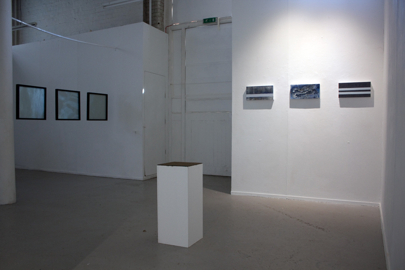
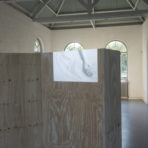
This fieldwork fed into the work ‘Intertidal Sediments’ exhibited at ‘Intersections’ during the Edinburgh Arts Festival at Patriothall.
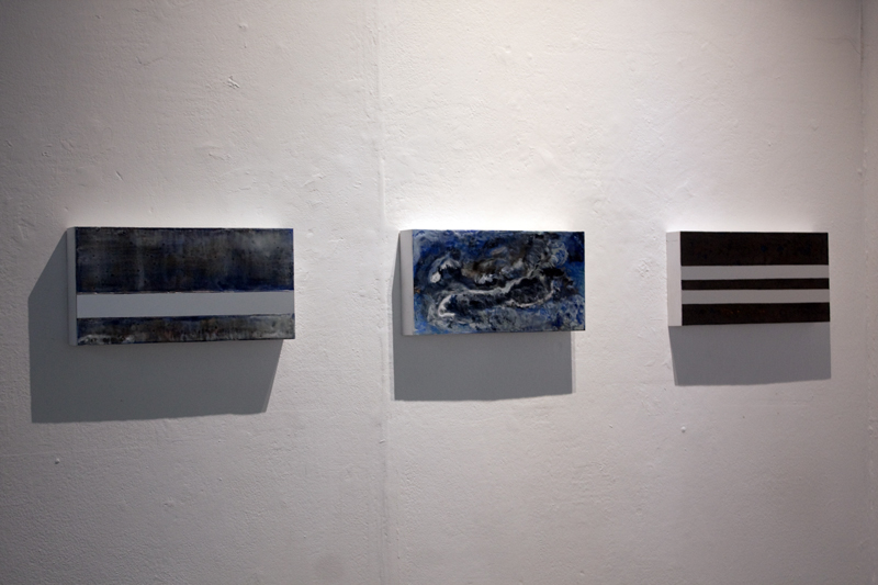
Intertidal Sediments
[GR130795] [3 ̊43’ 51˚39’ ] [GR925871]
[GR187765]
encaustic medium, pigment, aluminium
Intertidal sediments are important areas that separate the land from the sea and form natural coastal defences both fragile and changeable. The tidal section of the Forth between Kincardine bridge to Stirling is where the major exchange of fresh and salt water occurs. When the tide comes in two forces meet and the river flows in the wrong direction. The pieces refer to four locations where this can be seen. The artists used encaustic medium to represent depth and flow, fragility and change, and metal to represent man-made interventions.